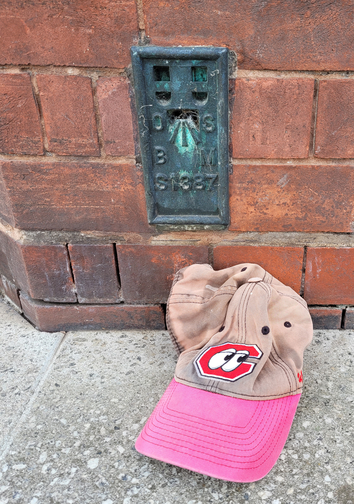
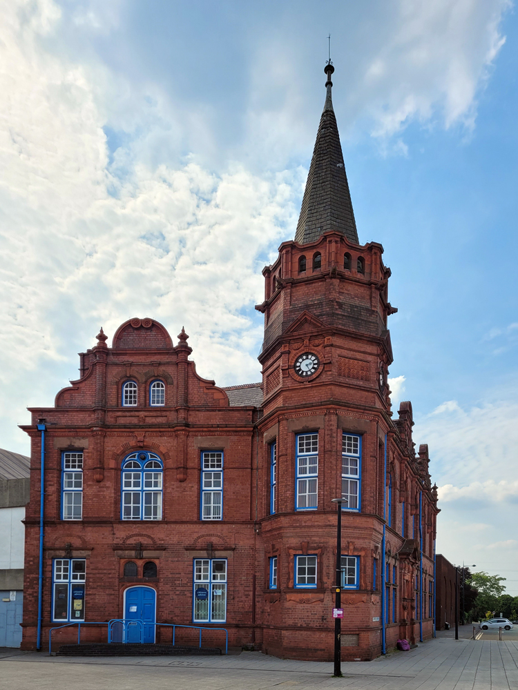
It was another unusually warm day and I waited until peak heat to get out for a run. I had 3 targets and achieved them all. The first was the old municipal building in Oldbury (below) with Flush Bracket #S1387, above.
Christ Church contained the other two. While reading the database to see where to find the Flush Bracket, a local asked if I needed directions. He was actually familiar with the OS features of the building when I started explaining myself. The tower is an actual Triangulation Point (TP18164) but merely an Intersectional Station.
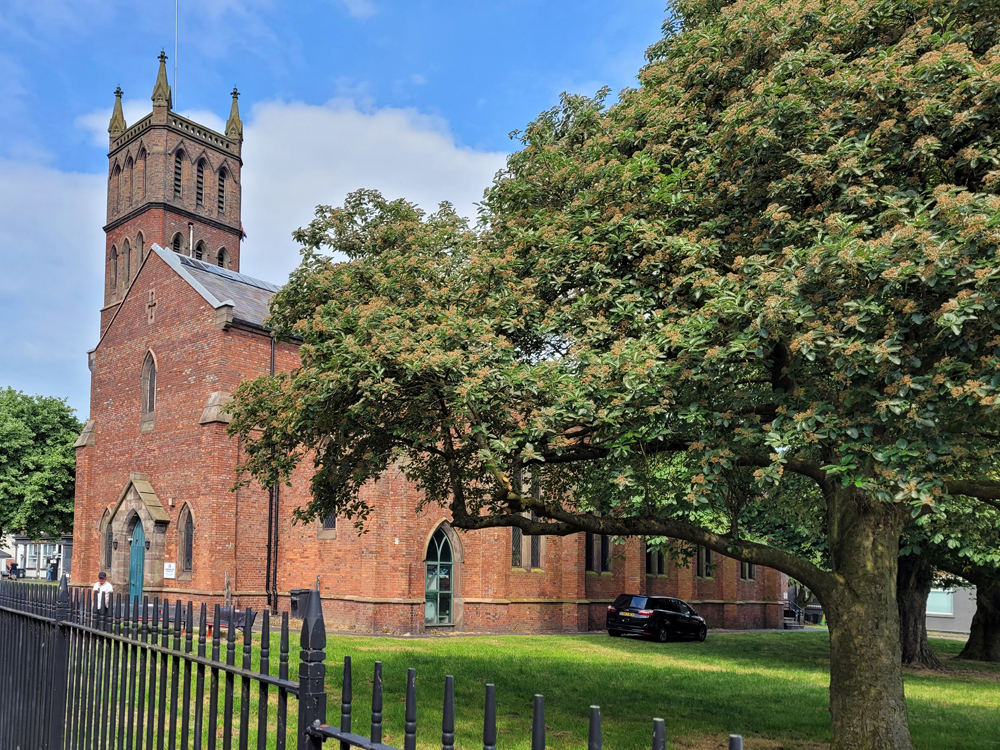
On the more eastern face of the church, FB #S1388 sits partially buried by paving bricks. When it was last levelled, it was 1 foot above ground level (0.3m AGL). The important bits are still there, though.
There’s also a Cut Mark at the base of the tower but I’ll save that for another trip.