Dudley Hill Trigging

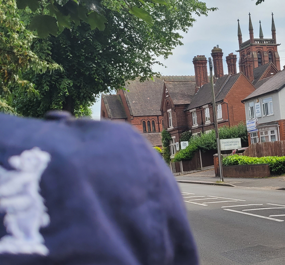
I’d been working on the shed patio and the front garden paving all day Saturday and some of Sunday but, before showering the quarry tile dust and paving sand away, I had a 6 miler scheduled. I reckoned I still felt pretty good despite the chemo so I headed out toward Bunn’s Lane in Dudley to do some hill work and to map out some trigPoints, like the Cut Mark on the Ivy House pub which may still be open but never has been anytime I’ve been by the last 4 years.

Dead reckoning, I was trying to scout my path to the town centre when at the top of one hill I spied Dudley Castle on another, lined up with a side street.

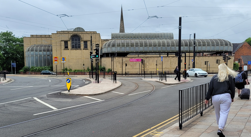
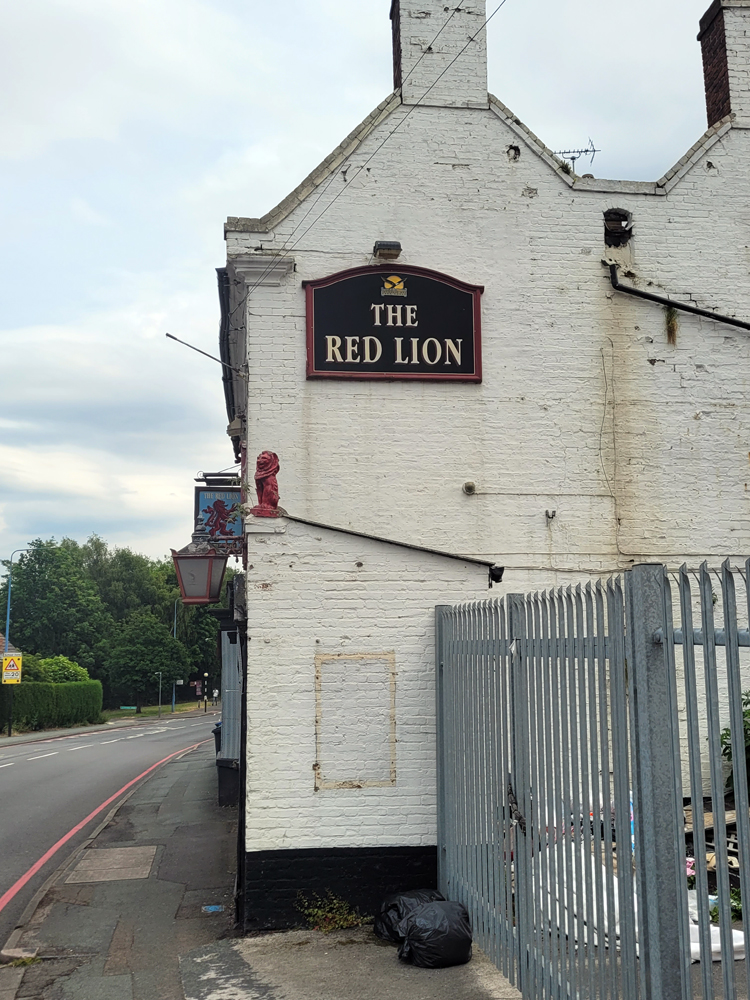
After my wee adventure in the Shrewsbury Arms, I was just going to jog over to the bus station but noticed a Cut Mark notation on my online map. It is on the side of the fountain at the market which was largely unpopulated late Sunday.

I found the spot braced myself to squat by holding onto the rim of the dry fountain. I was setting up this photo when two scruffy ass youfs come up and asked, “Yow awwrite, bruv?” I looked at them with a slight frown.

“I’m squatting by a monument taking a photo of an Ordnance Survey bench mark. NOTHING about this is alright. Hobbies…am I right?” By this time I was slipping the back pack on and trotting toward the depot.

Wet Wolverhampton Walkabout

Travelling from the rail station to a pet supply store could be shit, but in Wolverhampton there are nice surprises everywhere you look.

As is becoming habit, I took the route I did because of TrigPointing. The spire of the Church of St John in the Square is an intersectional point (TP14193).

A local stensil artist’s work (SKORE?) kept appearing around town:

Over by the Desi Yew Tree, I searched in vain for a mark (probably fell to repointing or brick replacement). After the cat food and litter stop at the Sunbeam strip mall, I headed toward The Royal tram stop past some lovely old factories.

It had a very crisp Cut Bench Mark toward the back/junction with another warehouse:

Skore continued to way mark my path:

And, with such attention to detail! The boombox is painted behind the junction box.

Eternal Life and Death TrigPointing

The run had not gone well and I was struggling to keep going. I’d had several unsuccessful Cut Mark attempts and a quick lager at the Spinney before deciding to make my way to the house.

There at the highest point of the route was All Saints Church whose spire is TP18369. There was another CM just down at the south entrance to Heath Lane Cemetery (recently scourged by flytippers) but it is faint and may not survive another year of weathering:

A film and a shvitz (Stirchley TrigPointing)

With a low mileage run planned for the day, I got to work early and did a quick one down to Bournville Station then caught the train from there back into the labs. First stop: the site of the long forgotten Pavilion Cinema which contained a pin as a triangulation point.

The Stirchley Baths were not in my plans but I spotted the building and took a moment to look around.

There on the back corner was one of the cleanest Cut benchmarks I’ve seen so far.

Too small for a pool, I’m guessing it is no longer in use as a bath house.

Sain(t)sbury the Martyr (TrigPointing)

The building you see on the walk to Wolverhampton St George’s tram stop looks like an old bus station but was, in fact, a Sainsbury’s supermarket.

From 1986 to 2015 it was built onto the church of St George (the intersectional trig point for this journey).

There was also supposed to be a bolt by the door on this side of the newer building, but alas….

Here it is, still in use in 2009:

California Lunch Loop (TrigPointing)

I’ve read about the Weoley Cinema online in preparation of the TrigPointing run through California area of Weoley Castle, but I haven’t found any photos of it. It would have stood in the space occupied, today, by the petrol station and quick shop shown above.

The run from work passed our old house along the nature trail then emerged not far from the former site of the New Stonehouse pub. Now new build housing, Google Earth still had it on street view as late as 2012:

The loop went through Weoley Castle, proper, then back past the off license near our old house which had my first successful mark of the journey.

There is a bolt at the top of the Med School clock tower designated TP18328 and which is inaccessible. I’ve recorded it here since I pass this twice most days but I’ll remember to ask the professors I work with over there to help me weasel access to it sometime.

Wylde Green/Boldmere BenchMarking

I usually exit Wylde Green station to the south on Station Road but on this TrigPointing trip I opted to head toward Highbridge Road and spotted the fox tucked away between the retaining wall and the stairs.

The bridge at that exit has a severely weather worn CM in the blue bricks. A little further along on this trot I found a much better maintained CM on the URC church.

I find this odd since the brick here looks like it would be more susceptible to wind, rain, and pollution damage…

Continuing on, my goal was lunch at the Sutton Park Hotel which also has a decrepit CM on it:

After I rejected the menu there and found no chippies opening in the next few hours, I swallowed my dignity and headed to the Harvester down the street with a stop across the way at #80 to find another old marker:

The one redeeming factor in this lunch stop was the Psychedelic Panda (called the Boldmere Bear on the plaques around it but you can’t mistake the “Drop” signage (as in drop acid).

Much slower after the “meal” I struggled along until I spotted TrigPoint #14746, the spire at St Mike’s:

I find the chimeric modern structure/ancient house chimera a little disturbing but the CM on the church was still on site.

As I completed the loop, I realised just what a spectacular day this was (back in June).

The railway bridge at the Station Road entrance has a mark on the Boldmere side:

It is in a low place in the road so there is a flood gauge mounted as well:

Still no bolts or pins

Before continuing, allow me to wish you a Happy International Cat Day. Jimi gets extra treats and cuddles today, as should your furry buddies. Anyways:

The run home from Galton Bridge was interrupted regularly in a fruitless search for Ordnance Survey pins and bolts listed on the canal. There’s simply too much vegetation growing and/or rotting along the edges — I need to bring a broom or rake when I try again.

In the meantime, I did spot a few good cut marks en route such as this one on an overflow on the canal between Tipton and the Wolverhampton-to-Birmingham canal.

I also picked up a massive goose feather for Jimi there. A bit later on I picked up a goose egg at the foundry entrance on West Brom Street. Since the list was published, the area of the factory including a vast asbestos hazardous waste site has been converted to new-build:

I also came up short at #101 West Bromwich Street: although I could clearly see the mark on the house, it is definitely a private residence and I generally respect that.

From #101 you can see the rail bridge ahead. It is supposed to have two CM’s but I only found one on the Oldbury side:

Finally, at the Vine close to home I found what I think is the benchtop but none of the legs of a Cut Mark. It is in the right place even if not conclusive:

So, no pins, one possible pin replacing a CM (???) and some modest CM successes over about 5 miles.

TP18178 Tipton Church Tower and a run to get there and onward

Having just logged the Tipton Telephone Exchange the day before, I returned to Tipton to finish what I started. Along the way, I failed to find Cut Marks on canal bridges and at a cemetery (and confirmed that a spire at the cemetery which should be an Intersectional TP was indeed destroyed). But, I found an interesting blue brick as I left a quiet lane over some canal junctures. The Bloomfield Brickworks were operated by J Whitehouse from 1860-1889 so the date isn’t exactly pinpointed but I’m pretty sure some of the other bricks — including the Cut Mark — have been replaced in the intervening ages:

Rounding the corner of the road back in to Tipton, I was way-laid by a pub stop and just afterwards by the Malthouse Road Canal Stables dating to the early 19th century. Trying to get my heartrate back up, I opted to move on from the 14 stall, nearly-fully-refurbished facility before finding the Blue Plaque commemorating the Battle of Tipton Green (12 June 1644).

I approached St Matt’s from the north and took the lead photo, fully aware that the actual pin at the top of the tower was inaccessible. If I get more ambitious in coming months or years, I might try to weasel my way up there to complete the mission.

Still, there is a nice Cut Mark on the front of the building over to the left corner from the front doors.

The rest of the run entailed returning without crossing my tracks. I thought I was having especially good luck when I spotted the Red Lion but the dream lay as shattered as the pub is shuttered.

Tipton Telephone Exchange (Trigpointing TP18179)

The old Post Office is a spectacular building on the corner of these two streets part of which you can see to the right of the Tipton Telephone Exchange in the photo.

I pass both of these regularly but on this run I was focused on the Exchange itself since it contains Triangulation Point # 18179, a pin that would classify as ‘inaccessible’ in most instances but which is listed as ‘destroyed’ in the database. Probably, it was in the yard that would have been overrun with cable spools in the Olden Days (like the 1990s), and got paved over when the concrete slab went in; alternatively — and more likely — it was on part of the flat roof and was chipped out or simply re-roofed-over with some sort of tar/gravel aggregate.

The site is currently integral in the shift from copper to fibre optics in the area, and the BT OpenReach repair vans in the vicinity seemed to deploy from the site. It and the Post Office were involved in a fire a few years back.

So that the trip wasn’t entirely a bust, I chased a Cut Mark on the Telephone Exchange. Streetside and substantially closer-to-ground-level than stated in the app I used (which consults an even dodgier database than the one I’m using for planning), this mark indicates the depth of the older roads and pavements as 8-10 inches below the current level…I should carry a tape measure from now on.